
Whittle Rock

Whittle Rock is an offshore reef in False Bay located 7.3 nautical miles (13.5 km) southeast of Simon’s Town and approximately 4.3 NM (8 km) east of Miller’s Point. The reef system consists of large granitic outcrops with sandy patches and covers an area of roughly 1 km². It extends about 1,300 m from east to west and about 950 m from north to south. The shallowest point (Whittle Rock) reaches up to 4.4m below MSL and is located at 34°14.845′S 18°33.714′E. The sandy seafloor surrounding the reef ranges from 30 m to just over 42 m in depth. Whittle Rock is marked by an east cardinal buoy, with sound and light signals, that is currently moored about 230 m east of the main rock pinnacle.
False Bay is the largest bay along the South African coastline and is in the mixing zone between the warm Agulhas Current and the cooler South Atlantic waters. The bay has one of the highest concentrations of South African marine endemics and is a breeding area for many species. As a result, Whittle Rock forms part of a broader marine biodiversity hotspot.
Whittle Rock is named after a lieutenant Daniel Whittle of the Royal Navy, who surveyed parts of False Bay and was the first to chart the rock in 1797.
Wreckless marine and Whittle Rock
Whittle Rock is marked on SAN charts. It is a popular recreational fishing spot and is visited occasionally by Simon’s Town-based dive charter operators. Wreckless Marine started diving on Whittle Rock in 2017 and due to its diverse structure, frequently good visibility and extensive biodiversity it quickly became a favourite location for the group.
Wreckless Marine worked closely with Grant Whitford of Blue Flash dive charters and Peter Southwood of SURG Maps to explore and chart new dive sites on this extensive reef system. Charts, single beam sonar and extensive dive exploration were used to identify new high potential dive spots.
In 2022 Wreckless Marine surveyed the entire reef system and its surrounds using its multibeam echosounder system and in 2025 the main reef area was resurveyed in ultra-high density.
Diving Whittle Rock
Almost all of Whittle Rock’s reef is shallower than 40 m depth, with most occurring above 30 m, making it an excellent dive site for recreational diving. There is a large area shallower than 18 m in the vicinity of the main pinnacle, which is suitable for entry-level divers. Whittle Rock includes areas of impressive underwater topography with pinnacles, gullies, walls, huge boulders, overhangs and occasional swim throughs.
Visibility at Whittle Rock can exceed 20 m on occasions and is often better than at inshore sites. Phytoplankton blooms can occur at the surface, particularly in periods of little wind and prolonged sunlight, creating turbid waters. However, these blooms may be limited to the surface layer, with clearer water below 3 to 10 m depth.
Water temperature varies with depth, particularly in summer when a strong thermocline develops. The thermocline gets deeper in autumn and dissipates in winter, when increased mixing throughout the water column may cause the temperature to be homogenous with depth. Reduced sunlight and resultant reduced phytoplankton growth may improve the visibility and light at depth in comparison to summer, even though there is less light at the surface. However excellent conditions can also be encountered in summer and as such there is no clearly defined optimal season for diving this area.
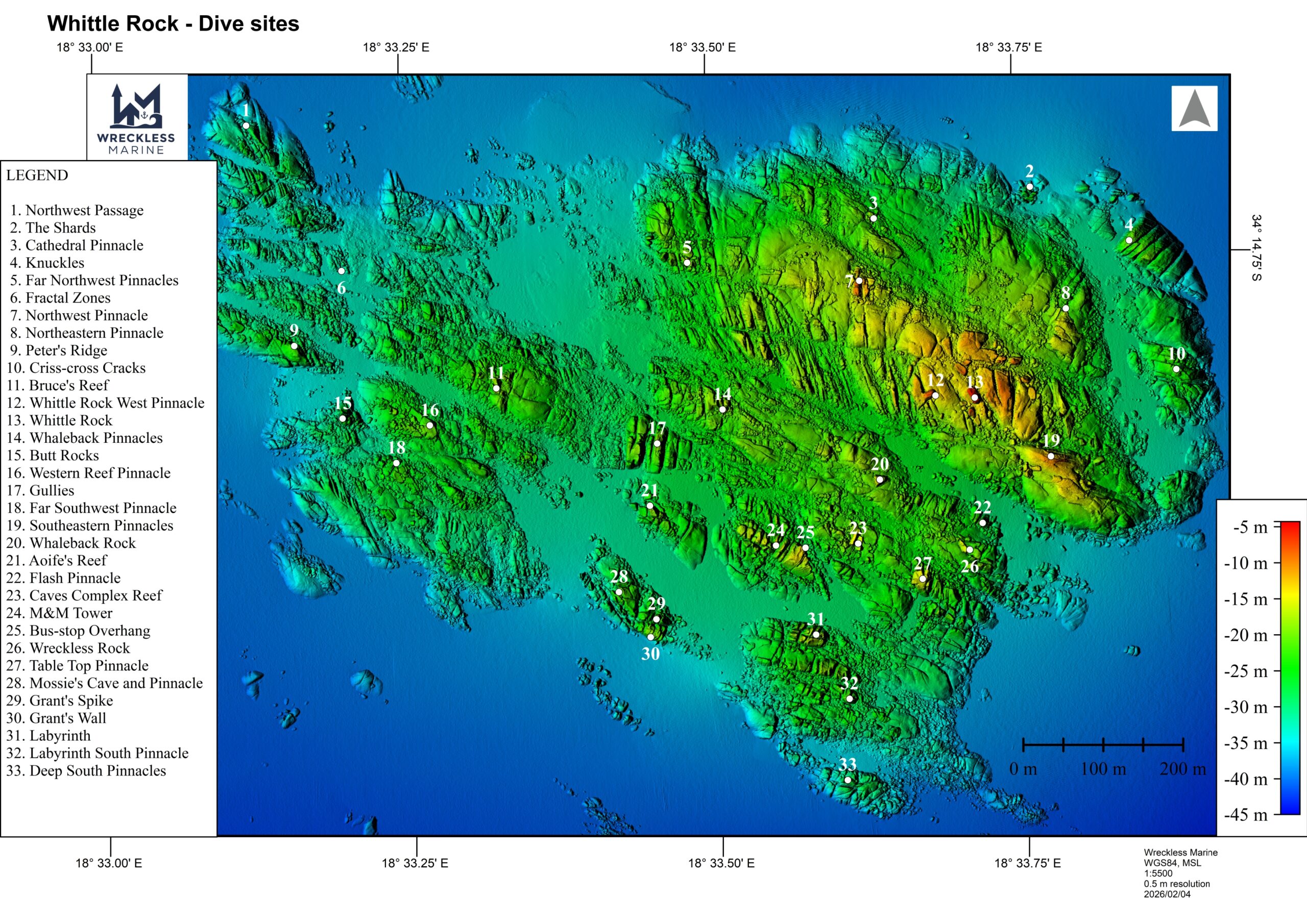
A number of dive sites have been recorded and named, mainly by Peter Southwood, and these are set out in a table below.
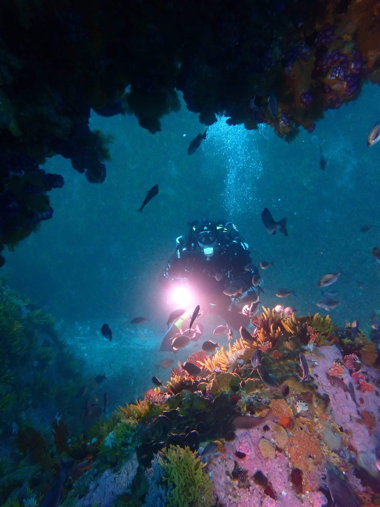
Wreckless diver on Whittle Rock reef
Whittle Rock’s Anchors
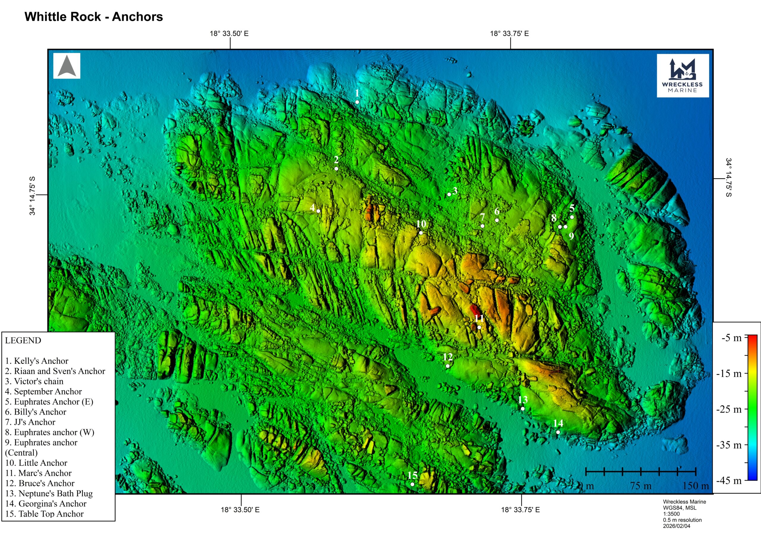
There are several ancient anchors scattered over the reef. Some of these are possibly associated with ships going aground or even wrecking on the shallow pinnacle. H.M.S. Trident reportedly struck Whittle Rock in 1796. In 1810 the British East Indiaman Euphrates also struck the rock, but it got off and was repaired, only to be wrecked off Ceylon in 1813. Four large Admiralty Pattern iron anchors, lying in close proximity to each other have been attributed to this ship. It is also likely that a number of the anchors remain from historic buoys that have marked Whittle Rock as a shipping hazard since the early 1800’s. Artifacts known as “Neptune’s Bathplug” and “Victor’s chain” are possibly the moorings from such historical buoys. There are also several smaller anchors, and these could have been lost by fishing vessels that would have operated on the reef system in years gone by.
The positions of 15 anchors are known and listed in a table below.
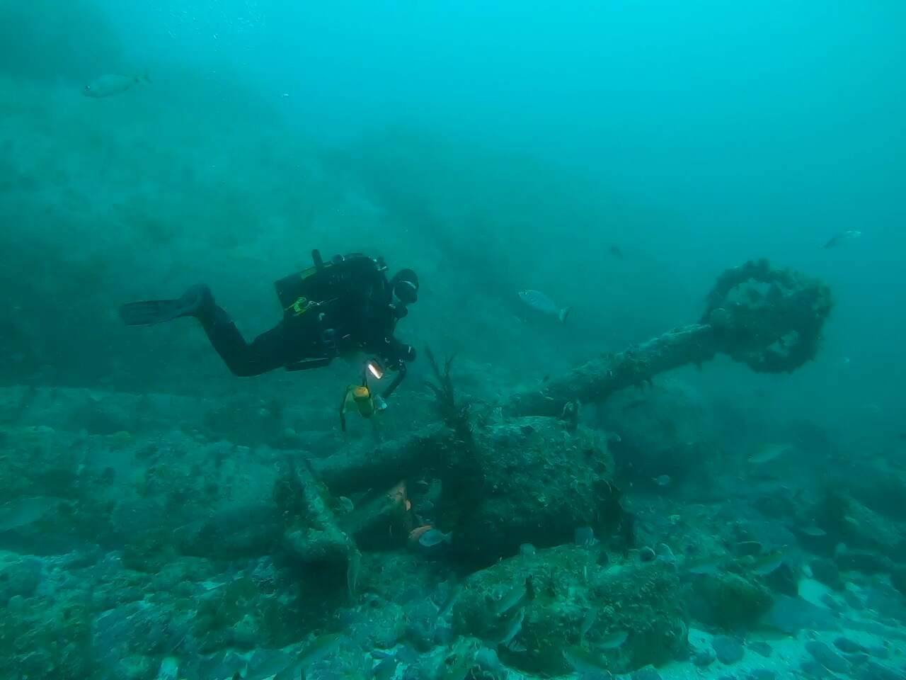
Kelly Graham on Kelly’s Anchor
Mapping Whittle Rock
In 1797 Rear-Admiral Thomas Pringle ordered H.M. Brig Euphrosyne to chart this area of the bay and to find the dangerous rock. Lieutenant Daniel Whittle, commander of the Euphrosyne, reportedly found the rock, that would later bear his name, in January of that year and placed the first buoy there to warn mariners of its danger. The rock appears on a 1797 Dutch chart as Witte Rots. Whittle Rock and some surrounding reef appears on today’s SAN charts.
Peter Southwood of SURG Maps started detailed mapping of Whittle Rock in 2014, using his own established contour mapping technique of towing a surface float with a GPS track recorder, while swimming contours at 3 m depth intervals. From 2018 Wreckless Marine collaborated with Southwood in locating new sites and sharing information. By the time Wreckless Marine conducted its first multibeam survey of the reef system in 2022, Southwood had made remarkable progress in mapping most reef system in 3m contours down to a depth of 30m. Details of this work can be found at the link below:
https://en.wikivoyage.org/wiki/Diving_the_Cape_Peninsula_and_False_Bay/Whittle_Rock
The 2022 Wreckless Marine multibeam survey provided detailed bathymetric data of the entire reef system and its surrounds and identified a number of new dive sites. The reef was surveyed again in 2025 in ultra-high density, enabling the generation of high-resolution maps of the reef.
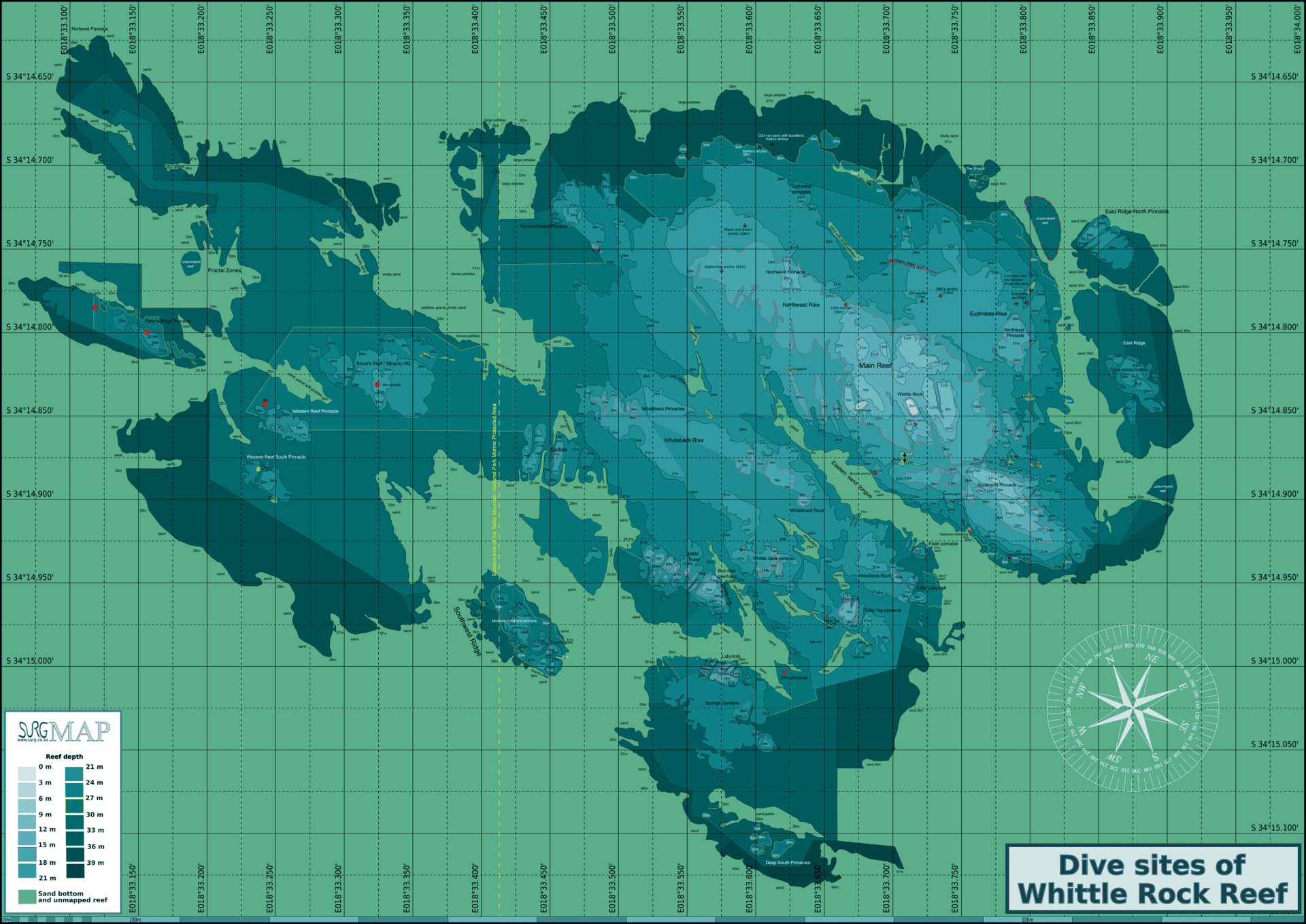
Map of Whittle Rock created by Peter Southwood of SURG Maps
Topography and Geology of Whittle
The reef at Whittle Rock is characterised by a series of parallel. ridges, primarily running northwest to southeast, intersected by secondary jointing that forms narrow, deep gullies running predominantly north to south. Whittle Rock is formed from outcrops of Peninsula Granite, a large batholith that was intruded into the sedimentary Malmesbury Group about 630 million years ago. This granite crystallised deep in the earth and has since been exposed through prolonged erosion.
The reef can be described as a large granite tor, rising abruptly from the surrounding flat and sandy seafloor, with steep, craggy features interspersed with flatter areas and occasional sand-filled depressions. The granite boulders have a characteristic spheroidal shape as a result of preferential weathering along intersecting fractures. The rock is coarse grained, with pink or white feldspar crystals, glassy brown quartz and flakes of black mica. During the most recent ice ages, sea levels in this region were significantly lower, meaning the reef was exposed above sea level, and much of its detailed topography was probably shaped during this period.
Sediment around the reef varies, with rubble, gravel, pebbles and shells mainly occurring along the reef edges particularly to the north. The surrounding seabed is predominantly composed of fine sand at depths of approximately 30 to 42 m. Sand also accumulates in local depressions across the reef, often with a relatively high shell content.
To the east of the main shallow reef, the seabed deepens rapidly over a short distance, forming a steep and craggy terrain with several prominent outlying reef features separated by a narrow sand gap. The main reef generally slopes down toward the southwest, where it transitions into a long, narrow sand tongue that extends and slopes down toward the southeast.
Marine Life
False Bay is in the mixing zone between the warm Agulhas Current and the cooler South Atlantic waters. The bay has a high concentration of marine endemics and as a result, Whittle Rock forms part of a broader marine biodiversity hotspot. There are three types of habitat at Whittle Rock, dependent on the type of substrate. These are rocky reefs, which provide a firm fixed substrate for benthic organisms to anchor, sandy bottoms to which fewer organisms can anchor and open water where organisms drift or swim. The granite structure plays a key role in shaping habitat complexity, with flat areas, steep walls, overhangs and gullies supporting different biological communities.
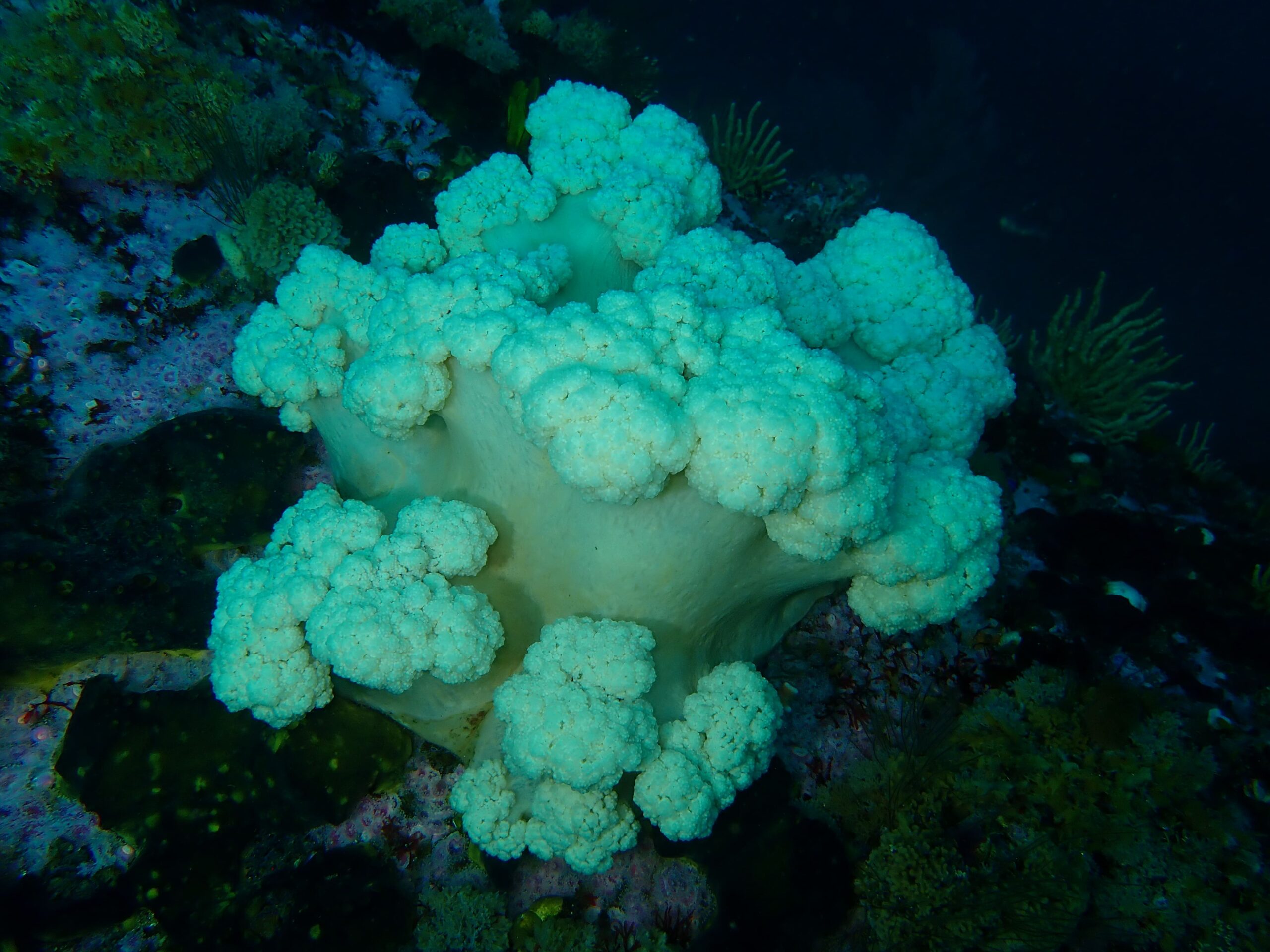
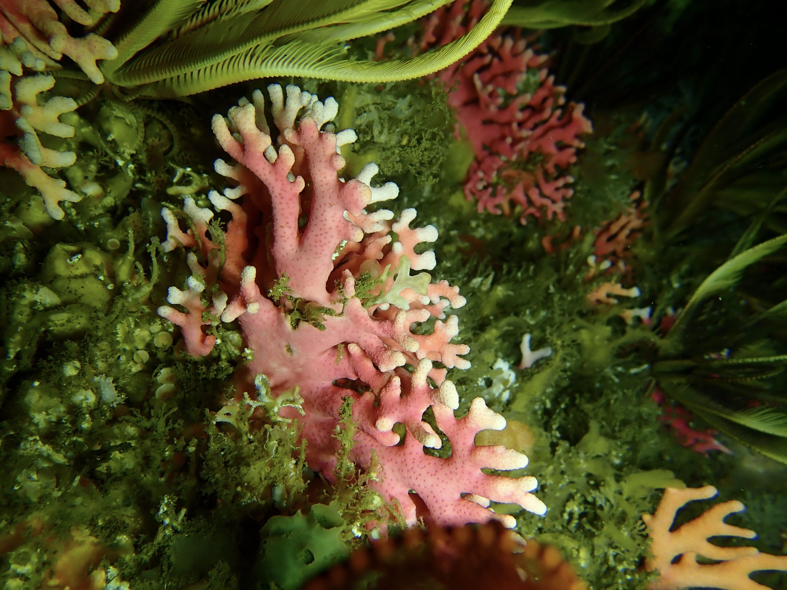
Biological communities vary with depth across the reef. Shallower areas are typically dominated by split-fan kelp (Laminaria pallida) and red-bait ascidians (Pyura stolonifera), particularly on flatter surfaces. In deeper areas, especially below 25 m, there is an increase in sponges and sea fans. Steeper rock faces and overhangs are often covered in feather stars and basket stars. The reef is also home to a wide variety of other invertebrates.
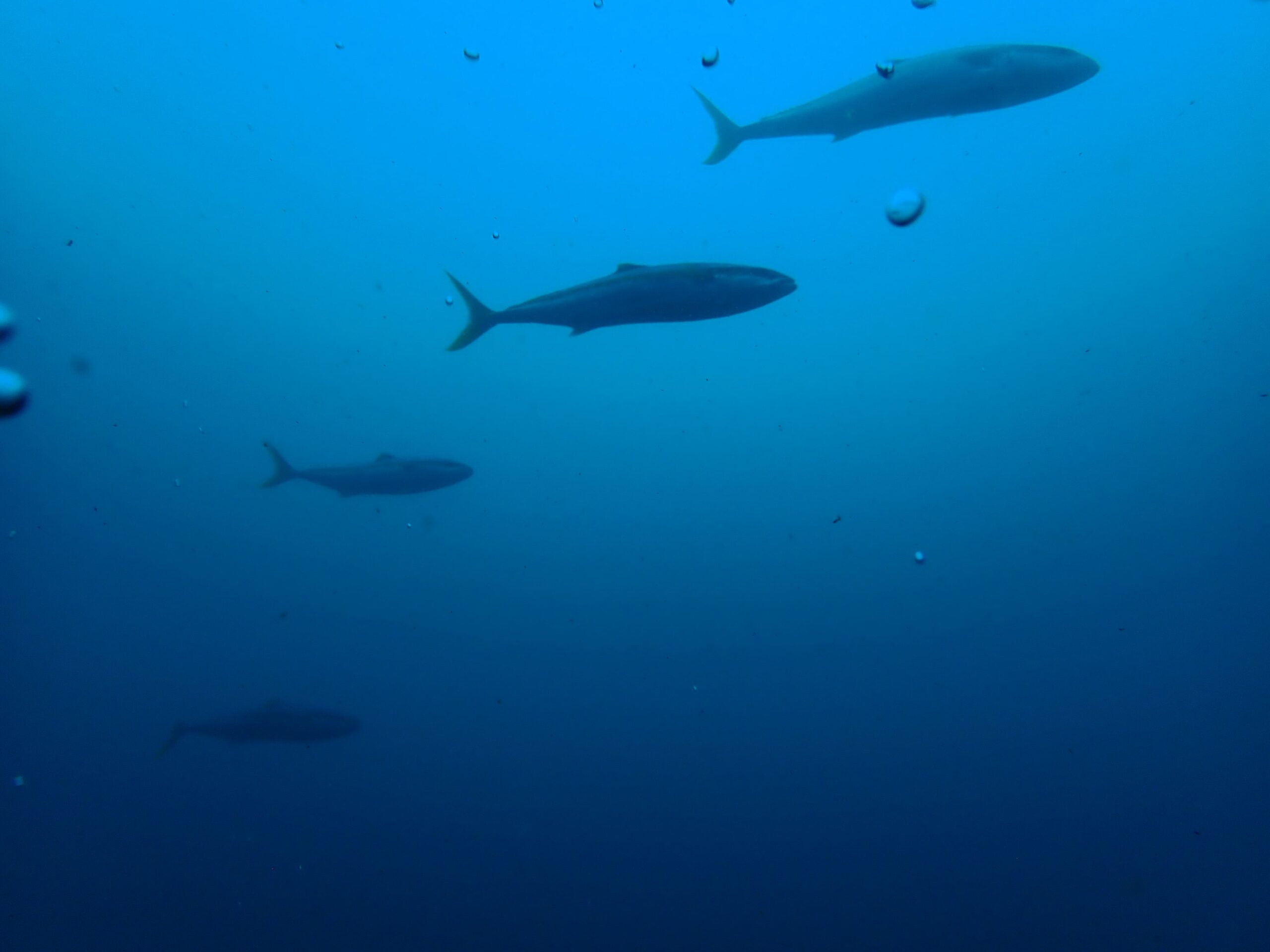
Fish and other mobile species vary across the reef by profile as well as with depth. They can also vary seasonally and with water conditions, such as temperature, visibility and amount of light. On some days, shoals of fish follow divers around, and there have been occasional shoals of pelagic Yellowtail, however on other days there are few fish to be seen. Spotted gully sharks have often been seen in swim throughs and overhangs, and large short-tail stingrays can be sometimes found in the gullies. Seals are often spotted and large schools of common dolphin have been recorded.
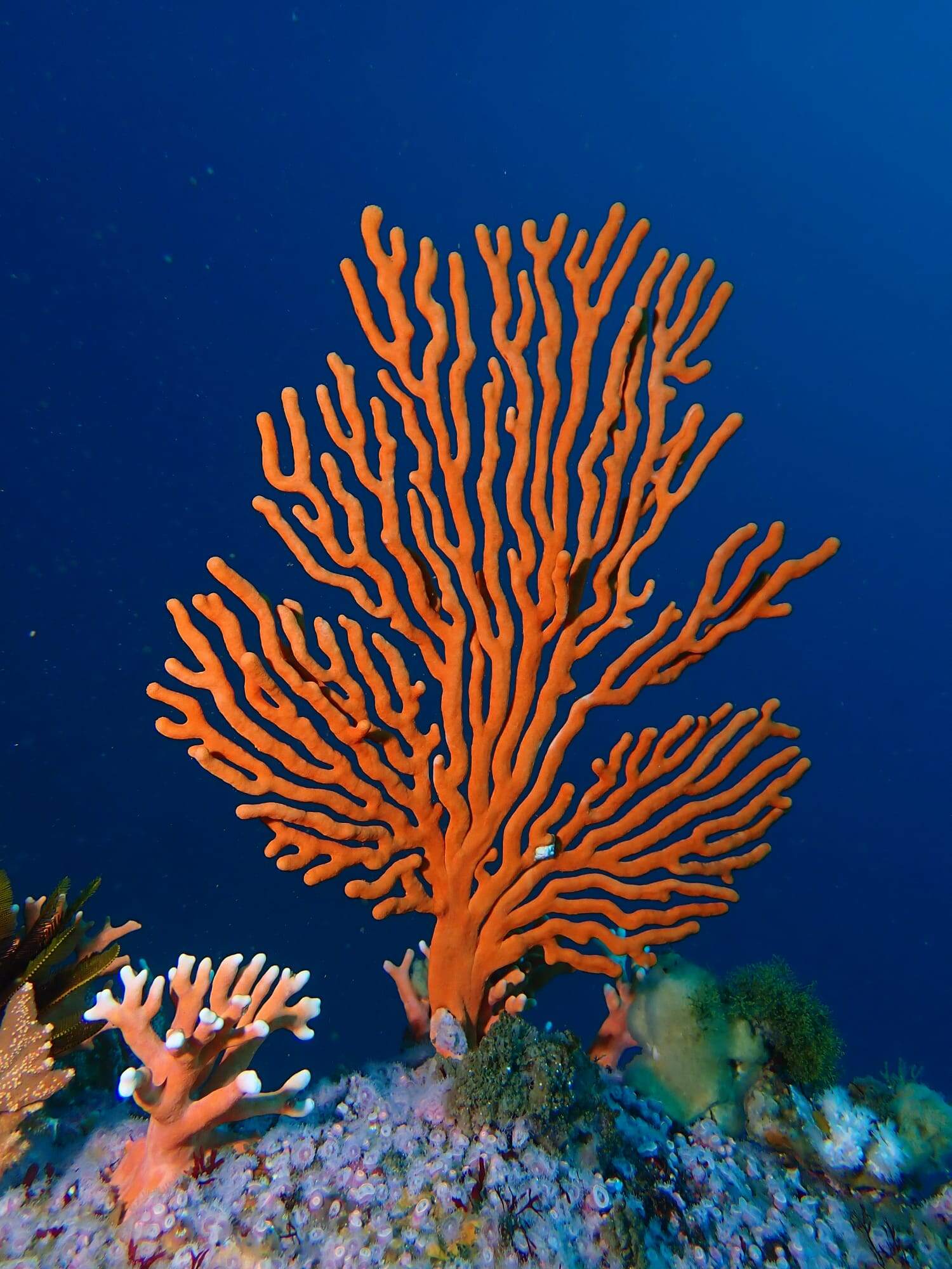
Sea fan on Whittle Rock reef
Whittle Maps

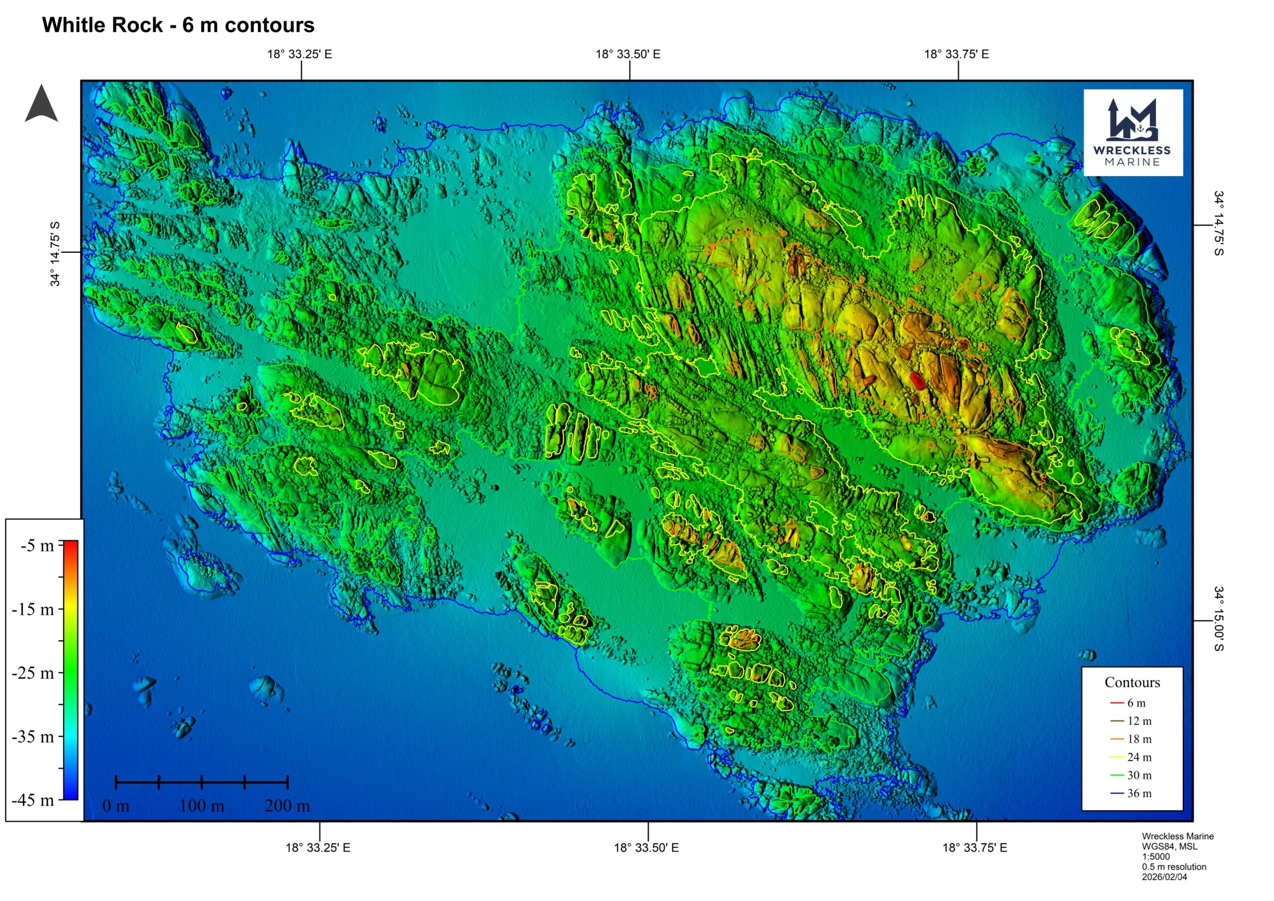
3D IMAGES
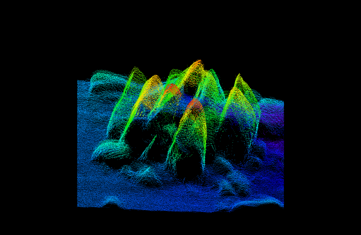
The Shards
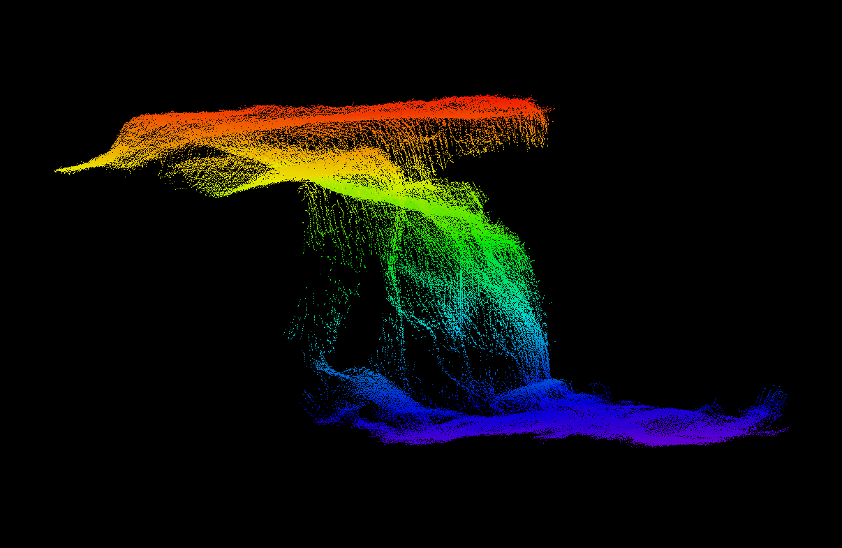
Bus-stop Overhang
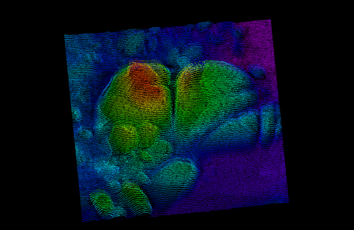
Butt Rocks
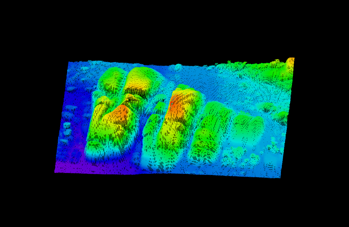
Gullies
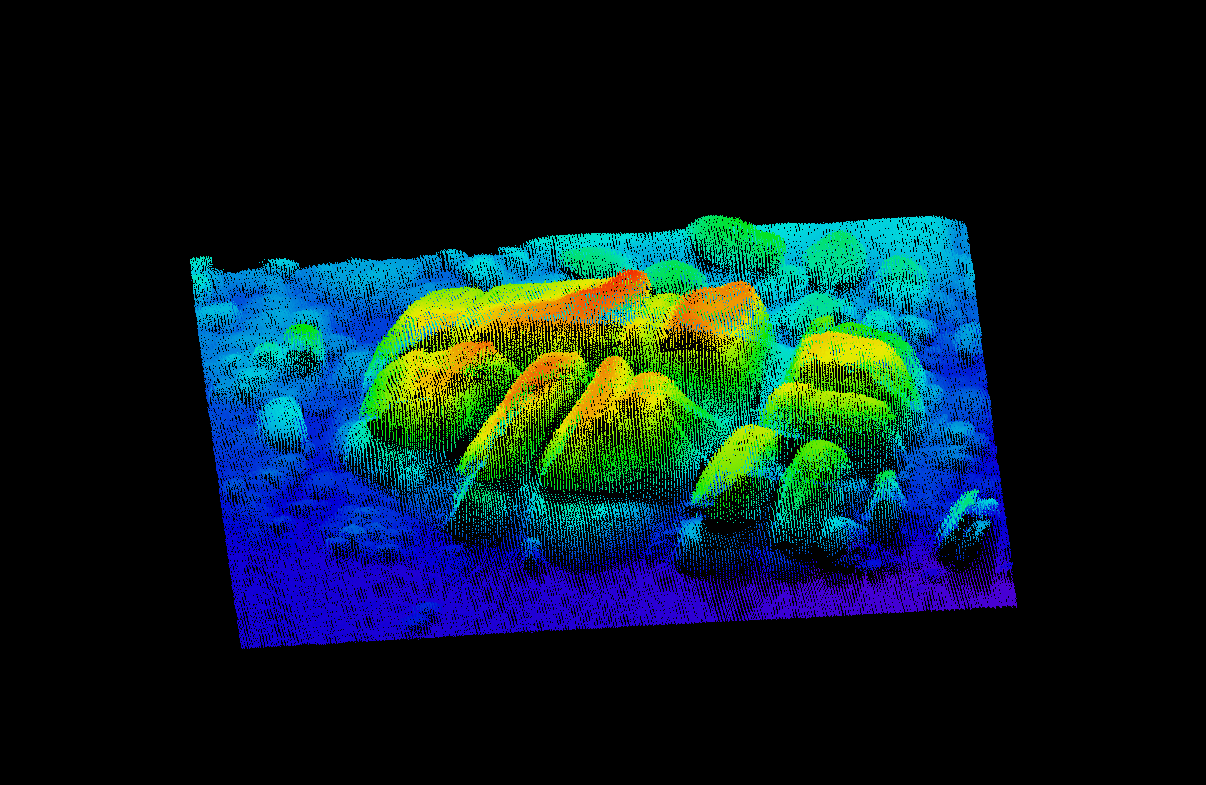
Labyrinth
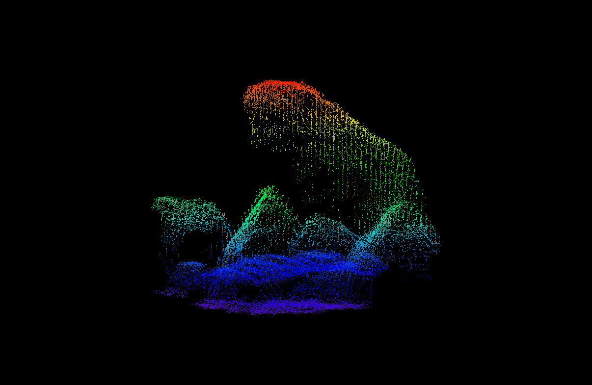
M&M Tower
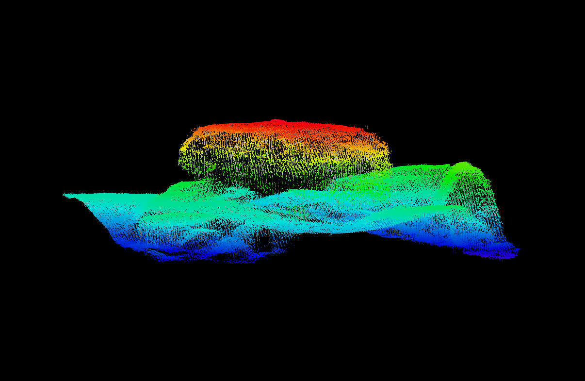
Whittle Rock

Peter’s Ridge
Dive Sites
| Dive sites | Latitude | Longitude | Depth (m) Range | ||
|---|---|---|---|---|---|
| 1 | Northwest Passage | 34° 14.650 | 18° 33.125 | 26.0 - 38.0 | |
| 2 | Shards Cluster | 34° 14.704 | 18° 33.763 | 25.0 - 36.0 | |
| 3 | Cathedral Pinnacle | 34 ° 14.723 | 18° 33.635 | 18.0 - 25.0 | |
| 4 | Knuckles | 34° 14.742 | 18° 33.843 | 20.0 - 40.0 | |
| 5 | Far Northwest Pinnacles | 34° 14.750 | 18° 33.482 | 16.5 - 27.5 | |
| 6 | Fractal Zones | 34° 14.750 | 18° 33.200 | 28.5 - 33.0 | |
| 7 | Northwest Pinnacle | 34° 14.765 | 18° 33.622 | 8.0 - 21.5 | |
| 8 | Northeastern Pinnacle | 34° 14.787 | 18° 33.790 | 14.5 - 24.0 | |
| 9 | Peter's Ridge | 34° 14.800 | 18° 33.160 | 22.0 - 37.0 | |
| 10 | Criss-cross Cracks | 34° 14.830 | 18° 33.879 | 21.0 - 39.0 | |
| 11 | Bruce's Reef | 34° 14.832 | 18° 33.324 | 18.0 - 29.0 | |
| 12 | Whittle Rock West Pinnacle | 34° 14.844 | 18° 33.682 | 7.5 - 24.0 | |
| 13 | Whittle Rock | 34° 14.846 | 18° 33.714 | 4.5 - 21.0 | |
| 14 | Whaleback Pinnacles | 34° 14.850 | 18° 33.508 | 16.0 - 22.5 | |
| 15 | Butt Rocks | 34° 14.850 | 18° 33.198 | 21.0 - 32.0 | |
| 16 | Western Reef Pinnacle | 34° 14.856 | 18° 33.269 | 19.5 - 30.0 | |
| 17 | Gullies | 34° 14.872 | 18° 33.454 | 18.0 - 30.0 | |
| 18 | Far Southwest Pinnacle | 34° 14.881 | 18° 33.241 | 23.0 - 30.0 | |
| 19 | Southeastern Pinnacle | 34° 14.887 | 18° 33.775 | 10.0 - 24.5 | |
| 20 | Whaleback Rock | 34° 14.900 | 18° 33.635 | 15.5 - 26.0 | |
| 21 | Aoife's Reef | 34° 14.914 | 18° 33.447 | 17.5 - 31.0 | |
| 22 | Flash Pinnacle | 34° 14.931 | 18° 33.718 | 16.5 - 30.0 | |
| 23 | Caves Complex reef | 34° 14.943 | 18° 33.616 | 14.0 - 22.0 | |
| 24 | M&M Tower | 34° 14.943 | 18° 33.549 | 11.0 - 28.0 | |
| 25 | Bus-stop overhang | 34° 14.945 | 18° 33.573 | 13.5 - 28.0 | |
| 26 | Wreckless Rock and Little Labyrinth | 34° 14.949 | 18° 33.707 | 15.0 - 28.0 | |
| 27 | Table Top pinnacle | 34° 14.968 | 18° 33.668 | 15.0 - 29.0 | |
| 28 | Mossie's Cave and pinnacle | 34° 14.972 | 18° 33.420 | 20.0 - 31.0 | |
| 29 | Grant's Spike | 34° 14.991 | 18° 33.450 | 18.0 - 31.0 | |
| 30 | Grant's Wall | 34° 15.003 | 18° 33.445 | 19.0 - 36.0 | |
| 31 | Labyrinth | 34° 15.004 | 18° 33.580 | 16.0 - 30.0 | |
| 32 | Labyrtinth South Pinnacle | 34° 15.048 | 18° 33.606 | 19.0 - 31.0 | |
| 33 | Deep South Pinnacles | 34° 15.103 | 18° 33.603 | 26.0 - 35.0 | |
Anchors
| Anchors | Latitude | Longitude | |
|---|---|---|---|
| 1 | Kelly's Anchor | 34° 14.687 | 18° 33.612 |
| 2 | Riaan and Sven's anchor | 34° 14.736 | 18° 33.592 |
| 3 | Victor's chain | 34° 14.757 | 18° 33.575 |
| 4 | September anchor | 34° 14.767 | 18° 33.575 |
| 5 | Euphrates anchor (east) | 34° 14.776 | 18° 33.801 |
| 6 | Billy's anchor | 34° 14.777 | 18° 33.734 |
| 7 | JJ's anchor | 34° 14.781 | 18° 33.721 |
| 8 | Euphrates anchor (west) | 34° 14.783 | 18° 33.79 |
| 9 | Euphrates anchor (central) | 34° 14.783 | 18° 33.795 |
| 10 | Little anchor | 34° 14.785 | 18° 33.666 |
| 11 | Marc's anchor | 34° 14.856 | 18° 33.716 |
| 12 | Bruce's anchor | 34° 14.884 | 18° 33.687 |
| 13 | South east pinnacle chain | 34° 14.917 | 18° 33.753 |
| 14 | Georgina's anchor | 34° 14.935 | 18° 33.784 |
| 15 | Table Top anchor | 34° 14.971 | 18° 33.653 |
Photo Gallery

Common Cuttlefish
Sepia vermiculata
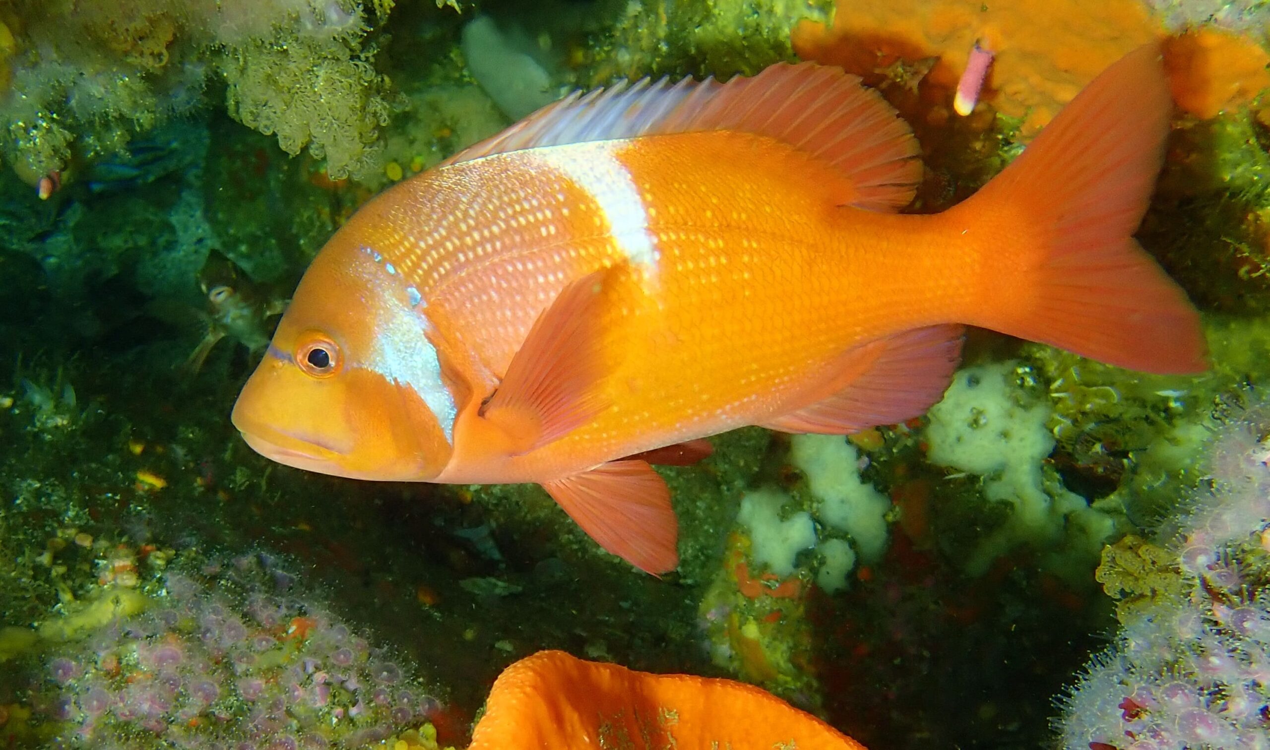
Red Roman
Chrysoblephus laticeps
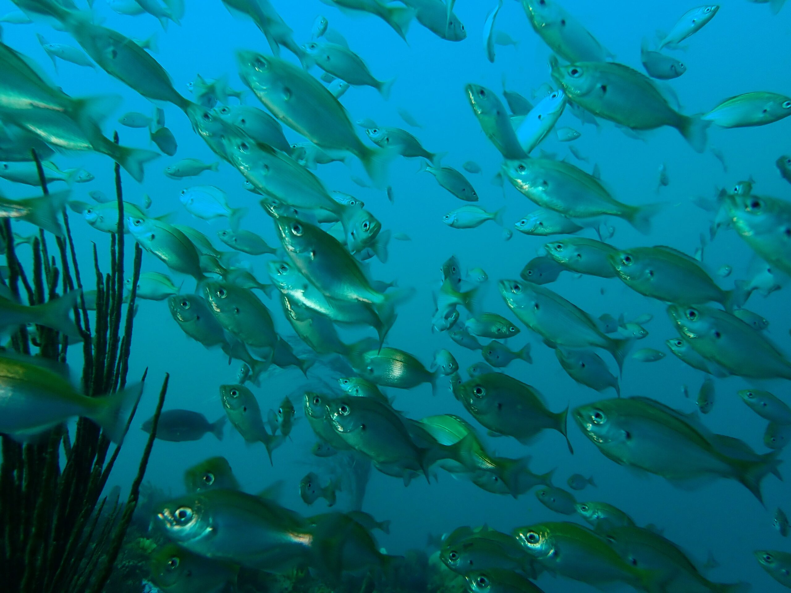
Windtoy
Spicara axillare
Yellowtail
Seriola lalandi
Liltved
Pseudonephthea liltvedi
Noble coral
Stylaster nobilis
Noble coral
Stylaster nobilis
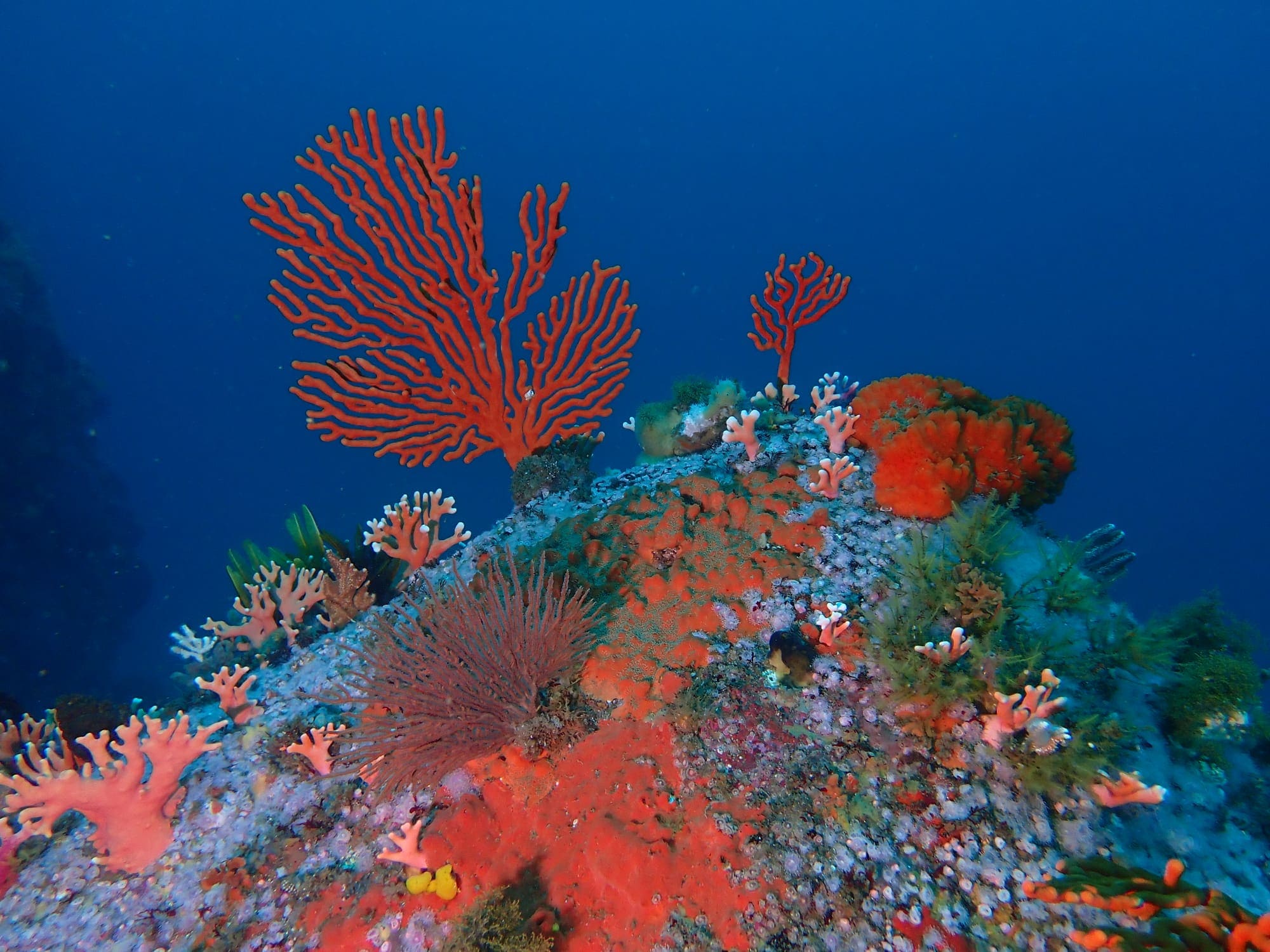
Sinuous sea fan
Eunicella tricoronata
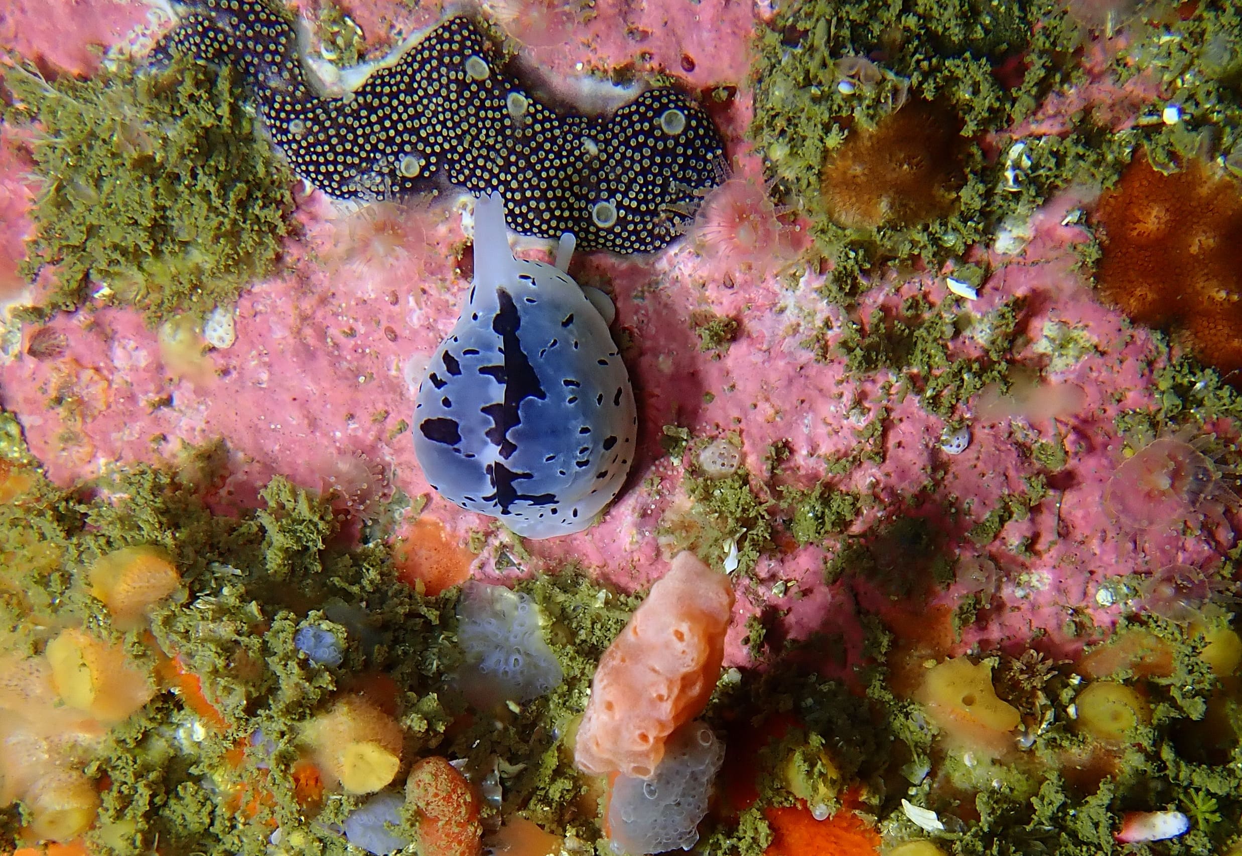
Baby’s toes
Trivia ovulata
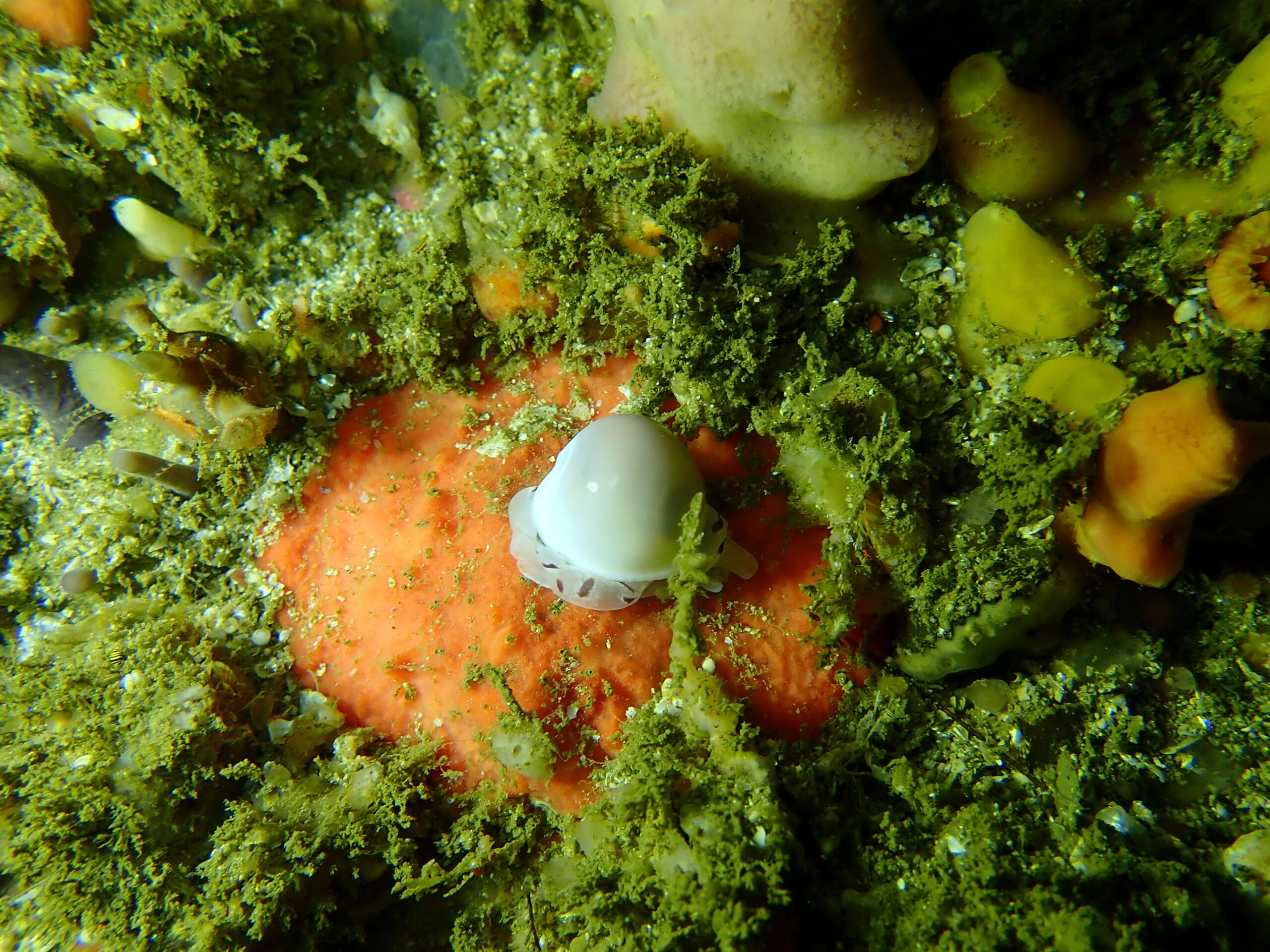
Baby’s Toes
Triviella ovulata
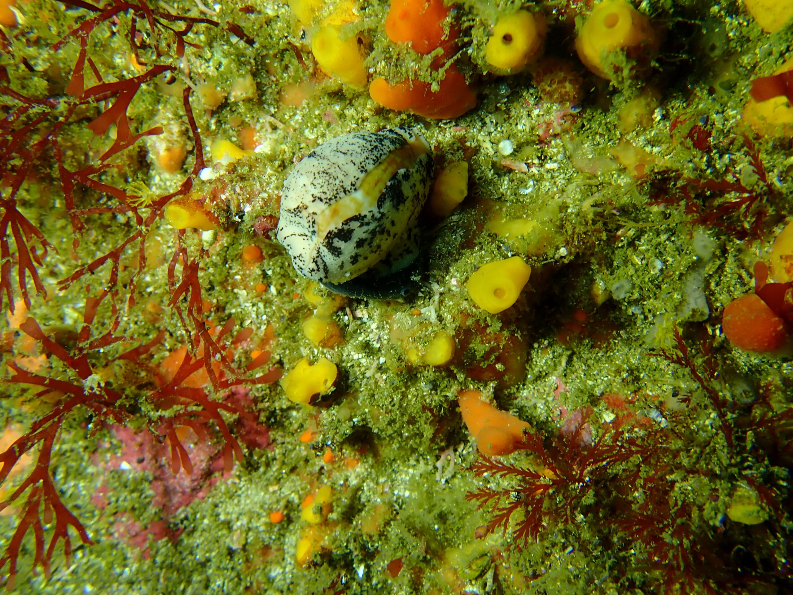
Dark-toothed cowrie
Cypraeovula fuscodentata
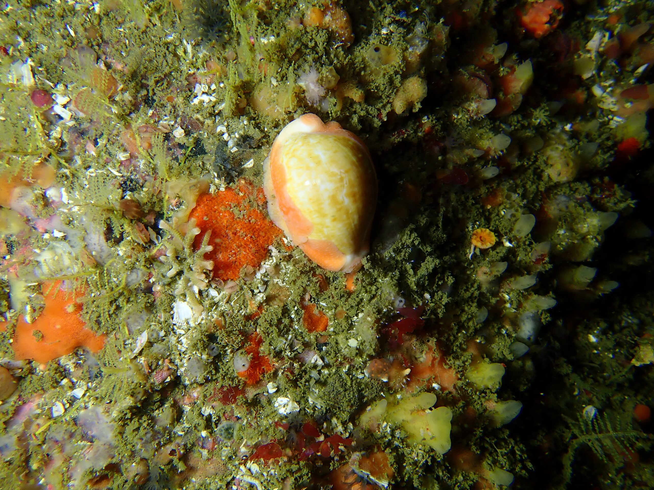
Dark-toothed cowrie
Cypraeovula fuscodentata
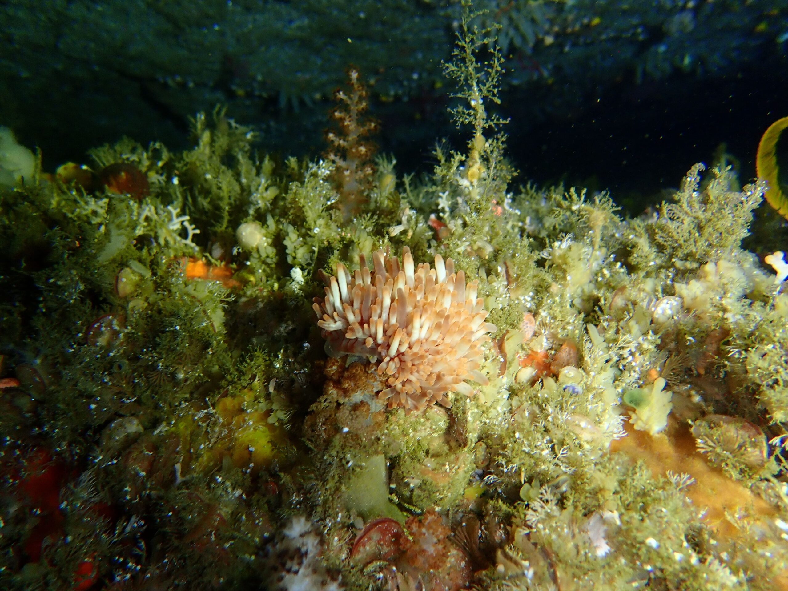
Aeolid nudibranch
Aeolidina
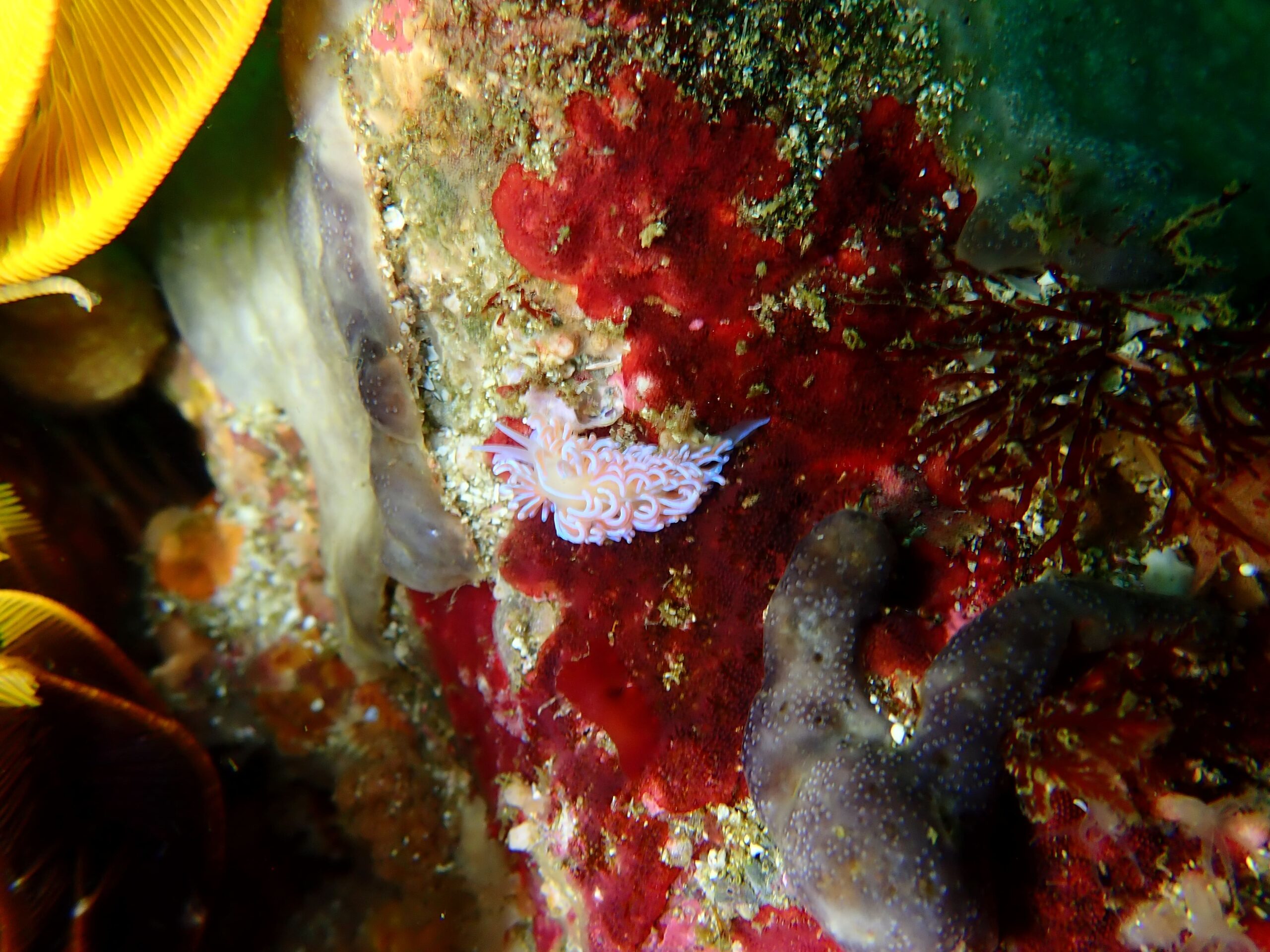
Coral nudibranch
Phyllodesmium horridum
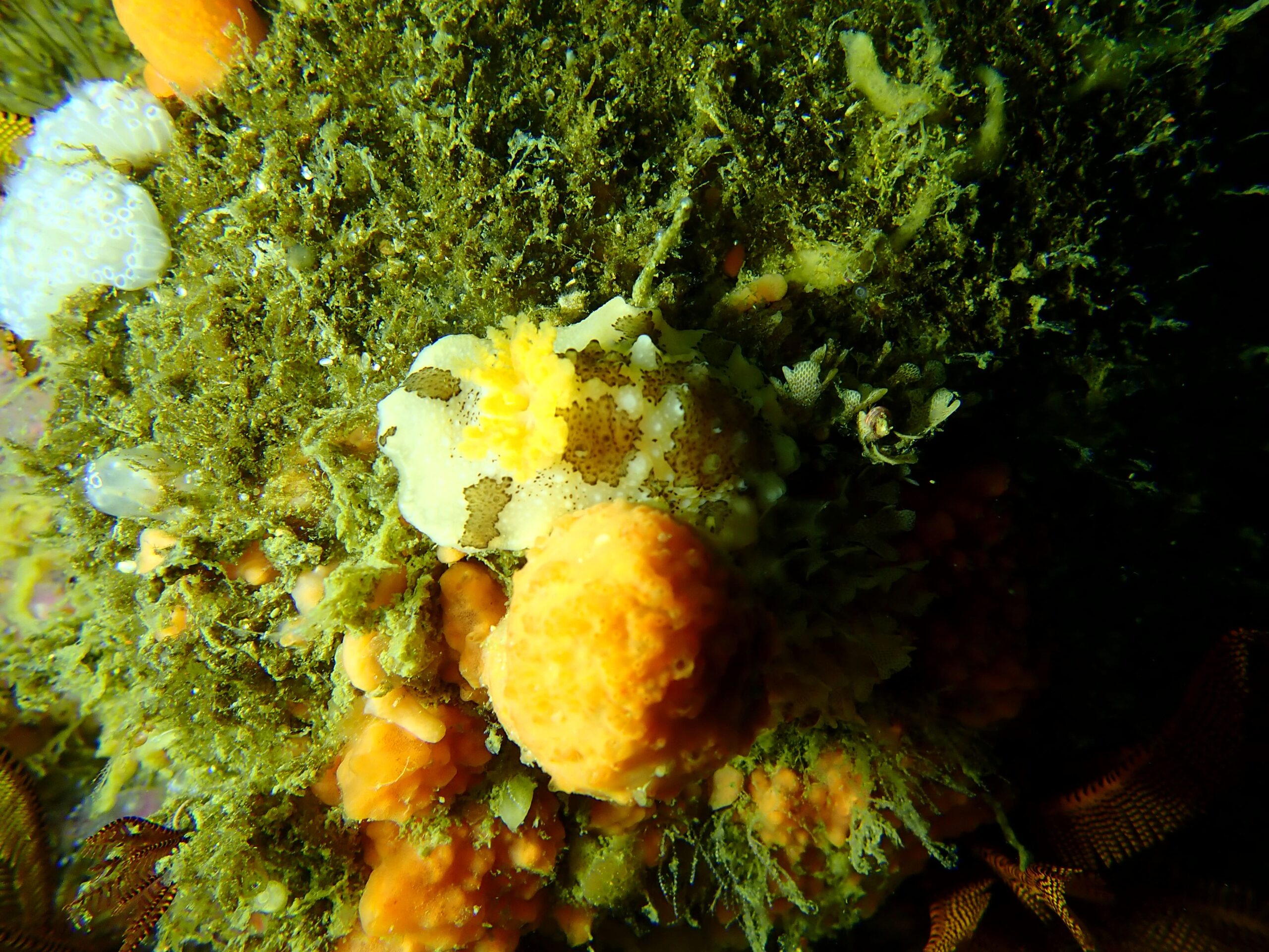
Mandela’s nudibranch
Mandelia mirocornata
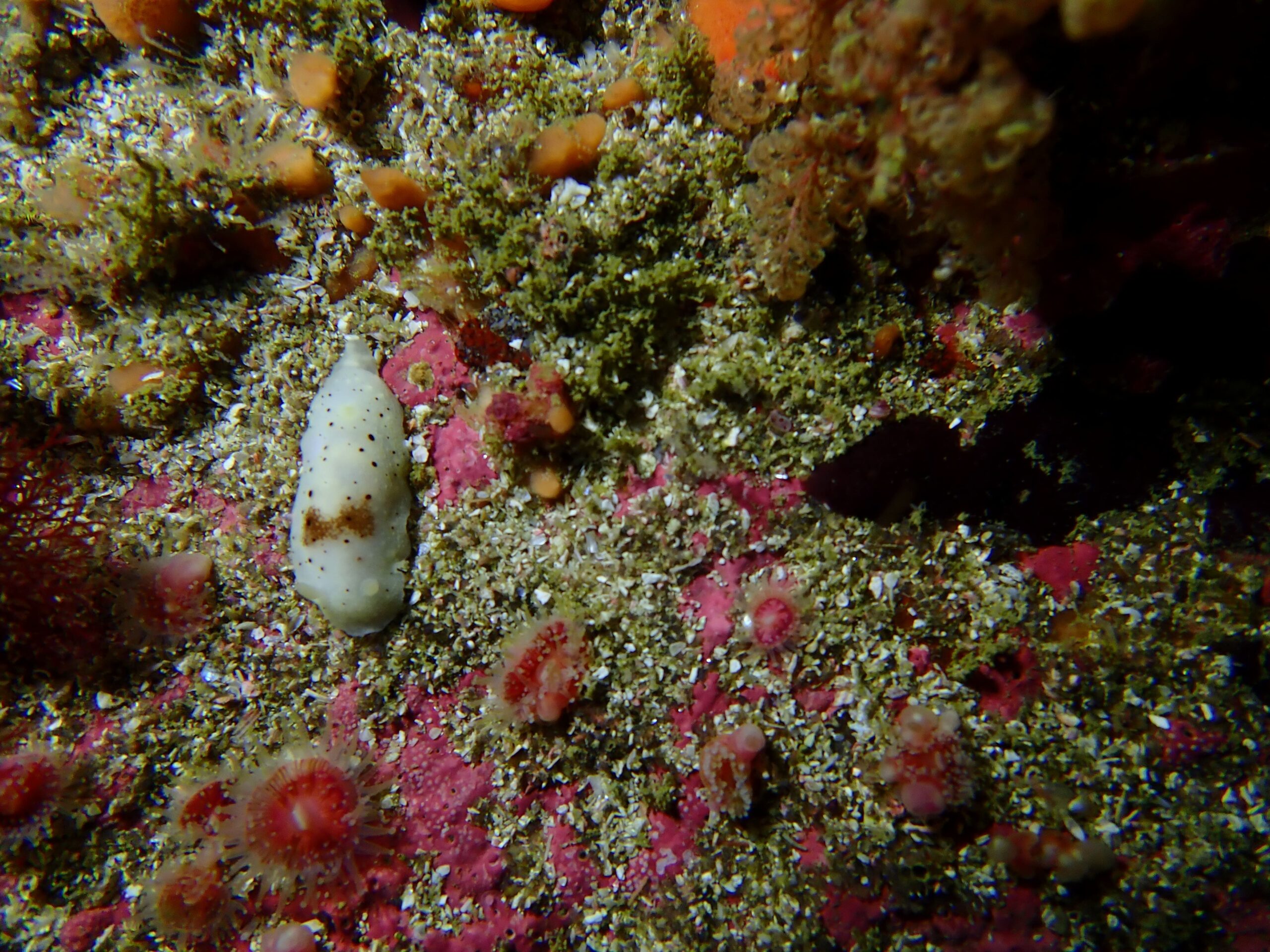
Saddled Nudibranch
Cadlina sp
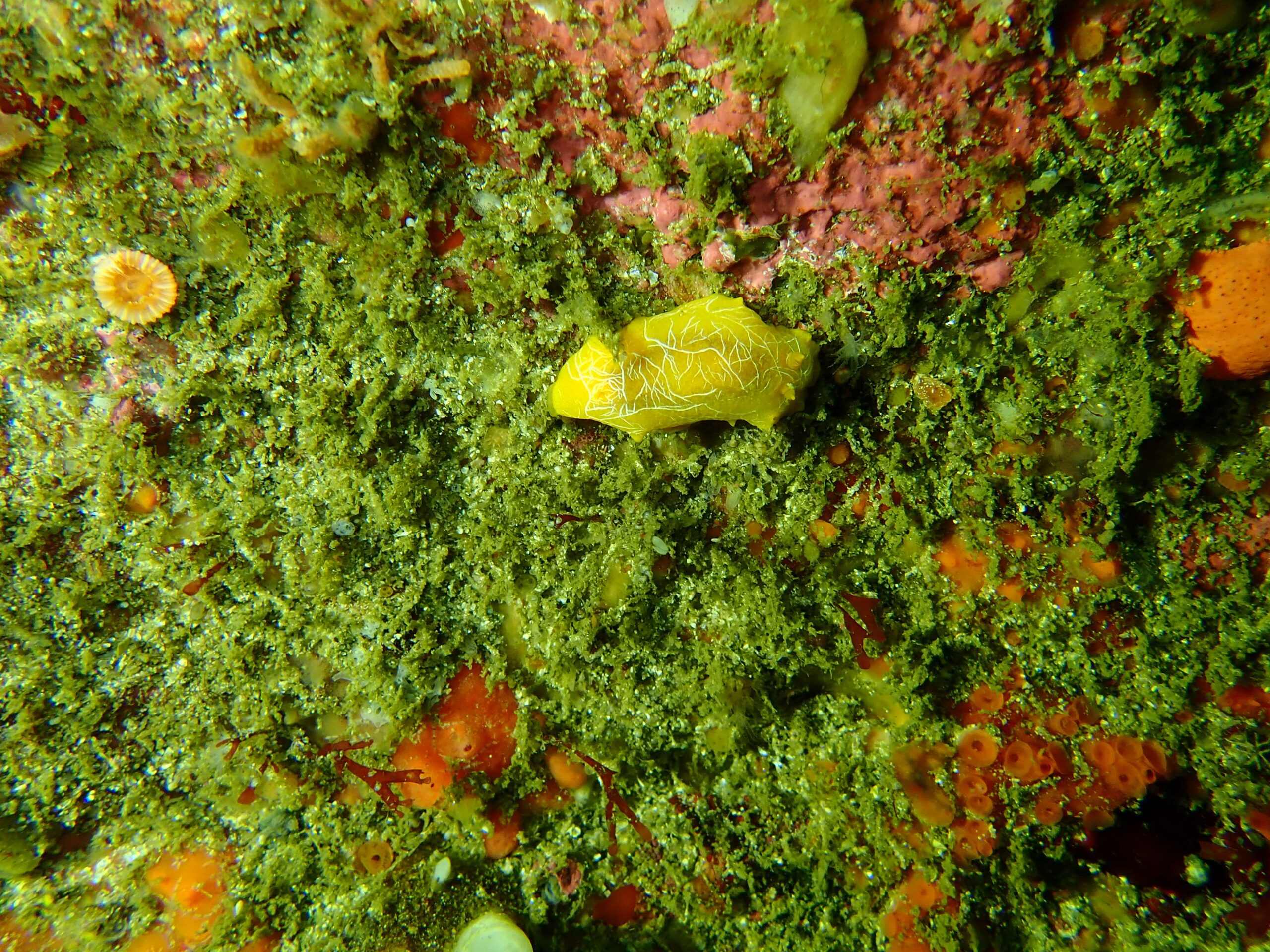
Scribbled nudibranch
Doriopsilla areolata
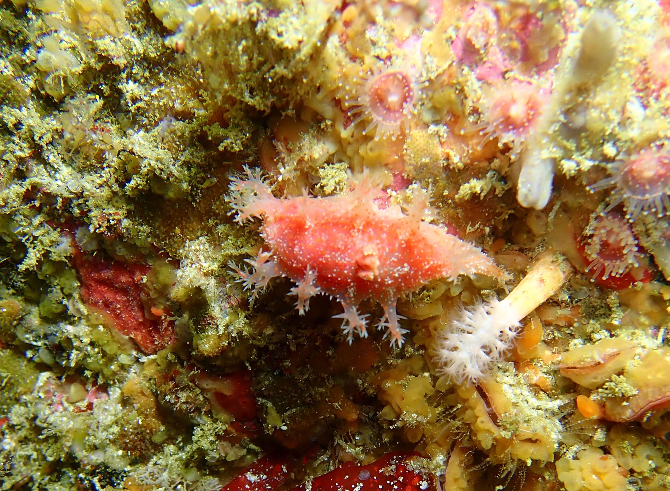
Tasselled nudibranch
Kaloplocamus ramosus
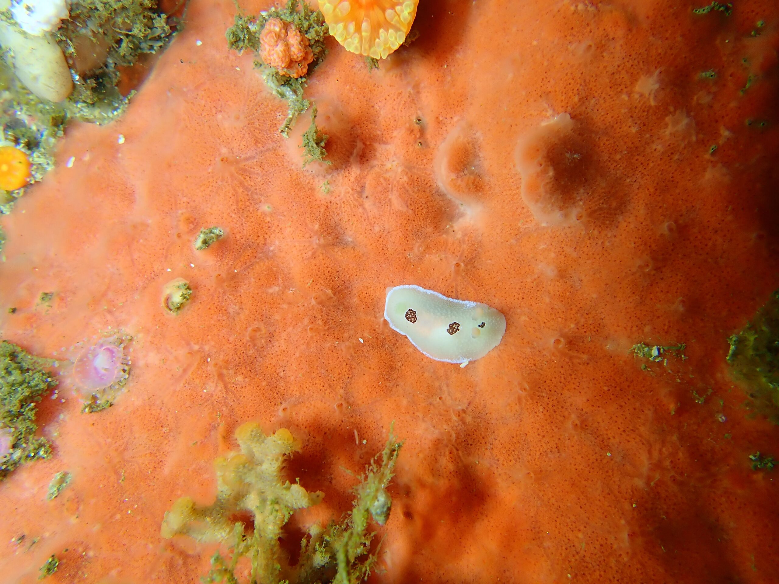
Three-spot nudibranch
Aldisa trimaculata
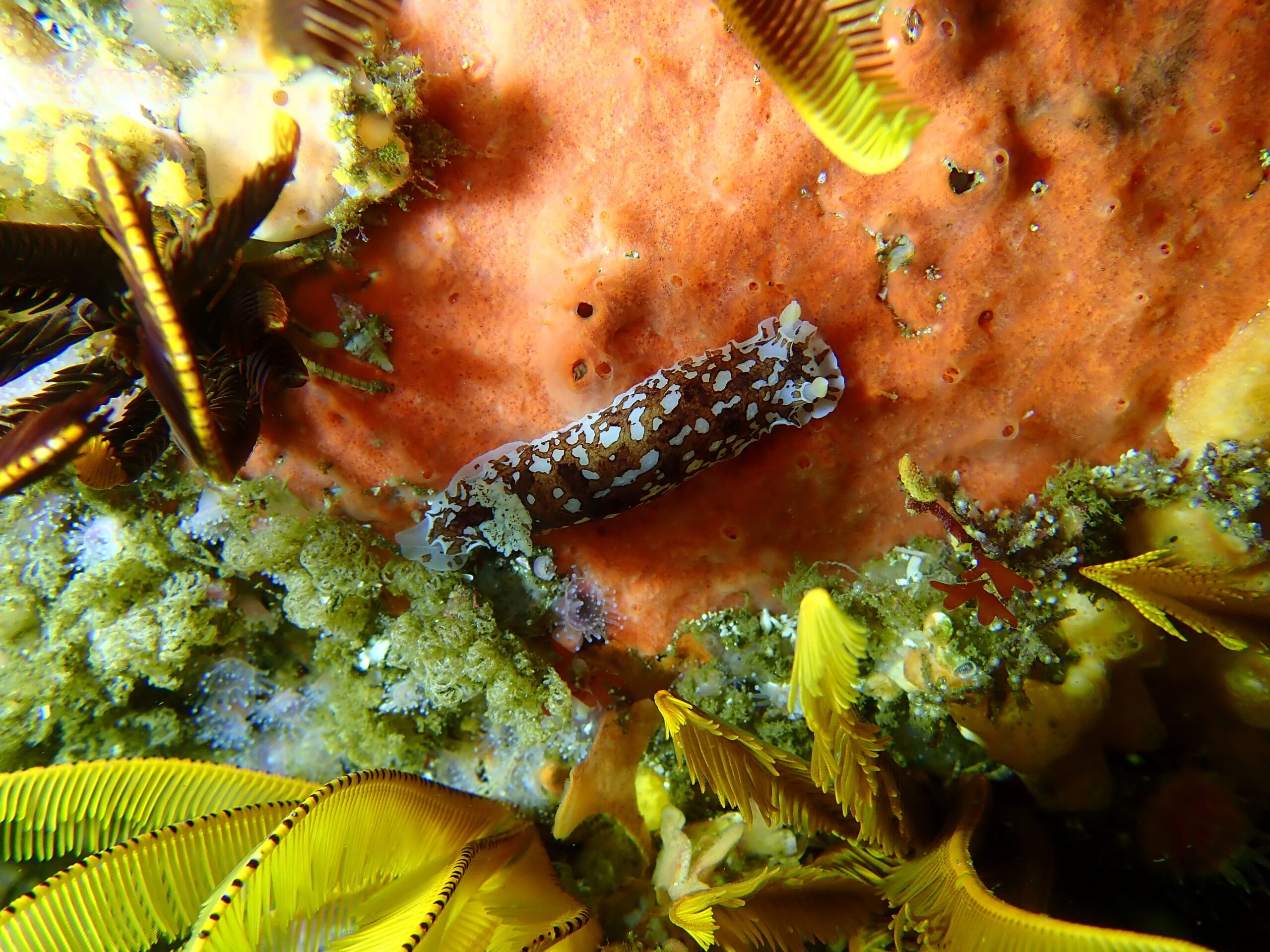
Variable dorid
Aphelodoris brunnea
VIDEOS
Gully sharks
Short-tail stingray
Kelly’s Anchor
Riaan’s Anchor
Acknowledgements
-
Wreckless Marine Survey Team: Bruce Henderson, Ben Henderson, Grant Whitford.
-
Peter Southwood and Gigi Birkett – Whittle Rock write up.
-
Tanya Cilliers – Map work and 3D models
- Victor Oblom and Bruce Henderson – Photos