

Shipwreck Mapping
In 2022, Wreckless Marine, as part of its broader marine exploratory work, commenced a high-resolution seafloor mapping project, off the coast of the Western Cape. During the mapping process, several shipwrecks, known and unknown, were uncovered, and Wreckless Marine undertook to collate this data and disseminate it in an accessible, user-friendly format.
A comprehensive database was collated for each wreck that was successfully mapped, and this has formed the basis for the book, Wood, Iron and Steel: Shipwrecks Mapped off the Western Cape.

SOUTHERN COELACANTHS
Wreckless Marine divers, together with Mike and Alan Fraser from Pumula in KwaZulu-Natal, were the first to discover and film coelacanths outside of the iSimangaliso Marine Protected Area. Several individual specimens have been filmed near the Umzumbe canyon off the south coast of KwaZulu-Natal and our findings have been shared with the South African National Biodiversity Institute (SANBI).
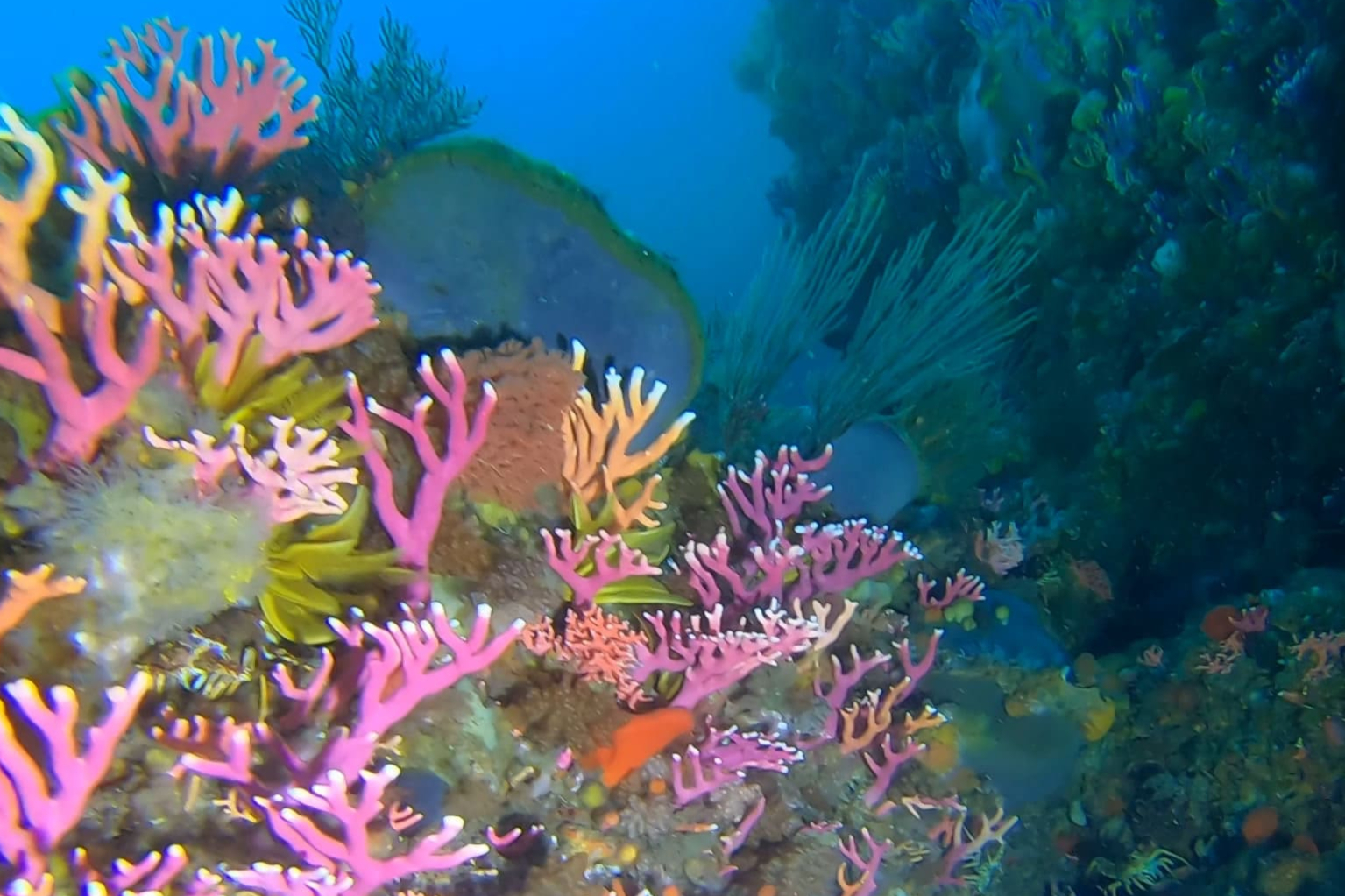
Rocky bank
Wreckless Marine has mapped Rocky Bank, an offshore shoal situated south of False Bay, in high resolution. The data has been used to identify interesting features on this extensive reef system, enabling us to undertake exploratory dives with pinpoint accuracy and record the incredible biodiversity of the area.
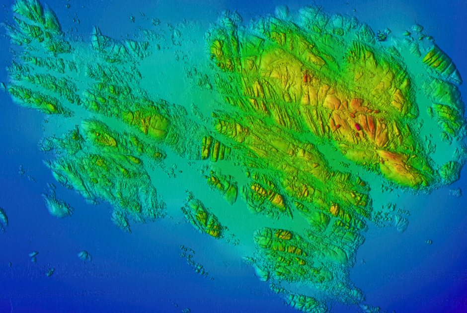
Whittle Rock
For a number of years, Wreckless Marine has collaborated with Peter Southwood of SURG Maps on the exploration and mapping of the Whittle Rock reef complex. The main reef and a large surrounding area have been mapped in high resolution.

Dalgleish Bank
Wreckless Marine has mapped and dived extensively on this biologically sensitive, offshore reef situated 8 nautical miles southwest of the Knysna Heads. Several undescribed marine organisms have been discovered including three new nudibranch species.
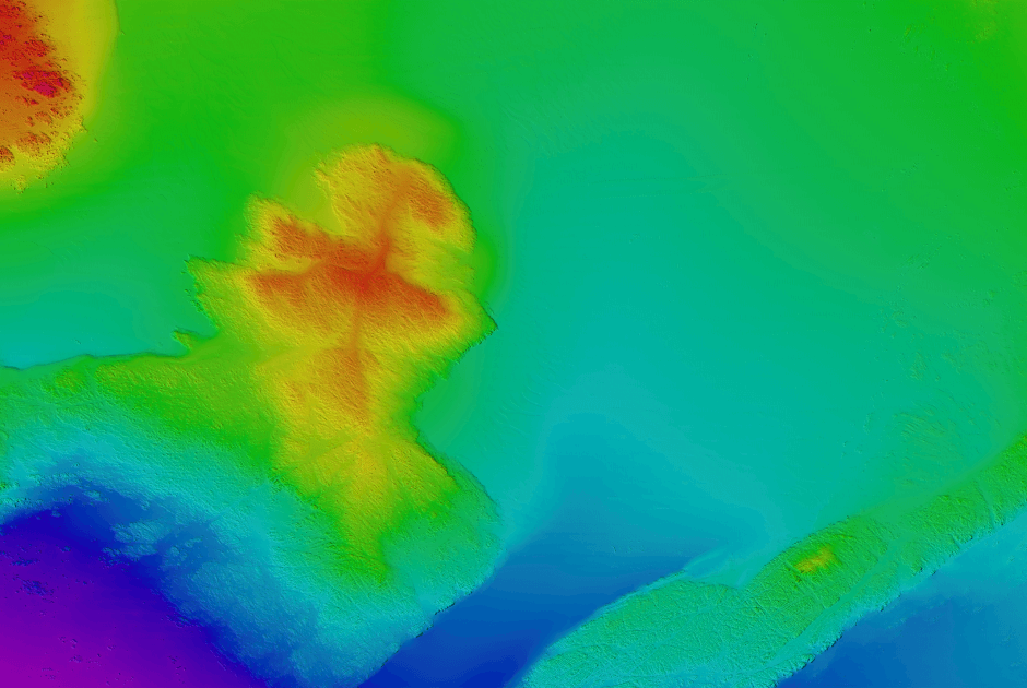
False bay seafloor mapping
Wreckless Marine has mapped the entire False Bay and its approaches in high resolution. The data acquired has been shared with GEBCO (The General Bathymetric Chart of the Oceans) and contributed to its Seabed 2030 project.

MULTISPECTRAL BACKSCATTER
Ben Henderson, for his MSc (Applied Ocean Sciences) dissertation, explored the potential of multispectral multibeam backscatter data for enhanced seabed classification in False Bay.